Services
→ Digital Capture
→
Asset Inspections
Some inspections tell you what a structure looks like. Laser scanning inspection tells you what it measures. We use terrestrial and aerial scanning, alongside thermal and photographic capture, to build a single, dimensionally accurate record of your asset. Every measurement traces back to the scan itself, so the data still holds its value long after the survey team has packed up and moved on.
Speak to our laser scanning inspection team
What sets us apart in laser scanning inspection
We’ve carried out laser scanning inspection across nuclear-licensed sites and live rail infrastructure, as well as operational buildings where access is tightly controlled. Each of these environments comes with its own permit systems and exclusion zones, which our teams plan around as a matter of course. The result is a survey that fits the site’s constraints from the outset, rather than one that has to be renegotiated once the constraints become clear.
We hold BRE ISO 19650-2:2018 certification, among the first UK consultancies to gain UKAS accreditation for it in 2021, and we’ve maintained it every year since. It shapes how a scan is structured from the point of capture rather than after the fact, right down to how the point cloud is filed and referenced. A laser scanning inspection built to this standard sits directly inside a wider BIM or asset management strategy, without extra work to make the data fit.

Precision on site
What a laser scan actually captures
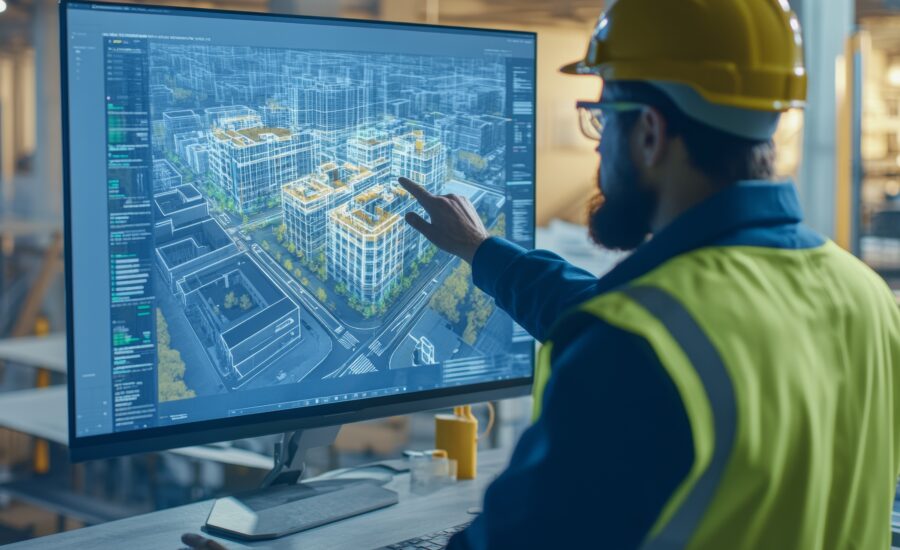
A laser scanning inspection produces a point cloud, made up of millions of measured coordinates, each accurate to within a few millimetres of the real surface. A hairline crack or a section of spalled concrete appears as a measured deviation, not a note in a surveyor’s report. The same applies to a wall that’s moved by only a few degrees. We’ve applied the method across masonry, steel, concrete and heritage fabric, and it holds up regardless of substrate because it measures geometry rather than forming an impression of it.
Built for regulated environments
Why sector experience changes the outcome
A laser scanning inspection on a nuclear site, a live railway or an operational hospital comes with constraints a standard building survey doesn’t. Access windows are shorter, permit-to-work systems govern when and where a scanner can be set up, and some areas need additional clearance before anyone can enter at all. Having worked to EDF and MOD framework standards, we scope each survey around what needs remote or aerial capture and what needs a permit booked weeks ahead. The data governance the client’s own systems already require gets built into the plan from the start, rather than fitted round it later.
Laser scanning inspection work in practice


Our mobile mapping services capture large, complex sites at the speed of a walk or a drive-through, using vehicle-mounted and backpack laser scanning systems to build geolocated, survey-accurate data sets. Where static scanning would take days, mobile capture takes hours. The result is a point cloud accurate enough to design from, delivered without lane closures, possessions or site downtime, across highways and rail corridors throughout the UK.
Most existing buildings were never modelled. They were built, altered and occupied again, and the drawings that survive rarely match what’s on site. Scan to BIM replaces that guesswork. We laser scan the physical asset and rebuild it as an intelligent BIM model, so the people managing, maintaining or refurbishing the building work from what’s actually there.
Understanding laser scanning inspection
A few of the questions that come up most often about laser scanning inspection, from accuracy to cost to where it can be used.
A laser scanning inspection is a survey method using a scanner to record millions of measured points across a structure, producing a point cloud accurate to a few millimetres. It’s used to assess condition and detect movement, and it produces as-built data without relying on visual judgement alone.
Laser scanning inspection is typically accurate to within a few millimetres, depending on the scanner and its distance from the surface being measured. That precision allows the method to detect small defects and structural movement a visual inspection would miss entirely.
Laser scanning inspection is more precise and more repeatable than a traditional visual survey, because it produces a measured dataset rather than a written impression. It’s particularly useful where disputes, structural monitoring or BIM integration mean the evidence needs to hold up over time.
Costs for a laser scanning inspection are set by the size of the asset and the level of detail required, from a simple point cloud through to a fully modelled BIM asset. Quotes are usually scoped after a short discussion about what the survey needs to support.
Laser scanning inspection is a non-contact method, which makes it suitable for listed and heritage structures where physical alteration isn’t permitted. It records existing fabric in detail without touching the building, giving conservation teams a reference model to work from.