Services
→ Building Consultancy
→
Digital Capture
3D laser scanning records a building or site as it actually is. We fire millions of laser pulses at every surface and piece the results into a point cloud accurate to the millimetre, so design decisions rest on fact rather than an old drawing. Our laser scanning services support projects from early concept work through to owner operator asset management, with digital surveying and photogrammetry services delivered in whatever format the job calls for.
-
Digital Capture Services ↓
- Asset Inspections →
- Scan To BIM →
- Mobile Mapping →
What sets us apart in digital capture
Millimetre accuracy, real sites
Built for demanding sectors
We’ve scanned submarine hulls for BAE Systems and captured land beside a live nuclear station under Civil Aviation Authority restrictions. That range across nuclear, defence, marine and complex commercial builds shapes how we plan a survey, site by site rather than to a fixed template. Every laser scanning project runs to RICS accuracy standards, so the data holds up under scrutiny once the project moves forward.
Some inspections tell you what a structure looks like. Laser scanning inspection tells you what it measures. We use terrestrial and aerial scanning, alongside thermal and photographic capture, to build a single, dimensionally accurate record of your asset. Every measurement traces back to the scan itself, so the data still holds its value long after the survey team has packed up and moved on.
Most existing buildings were never modelled. They were built, altered and occupied again, and the drawings that survive rarely match what’s on site. Scan to BIM replaces that guesswork. We laser scan the physical asset and rebuild it as an intelligent BIM model, so the people managing, maintaining or refurbishing the building work from what’s actually there.
Our mobile mapping services capture large, complex sites at the speed of a walk or a drive-through, using vehicle-mounted and backpack laser scanning systems to build geolocated, survey-accurate data sets. Where static scanning would take days, mobile capture takes hours. The result is a point cloud accurate enough to design from, delivered without lane closures, possessions or site downtime, across highways and rail corridors throughout the UK.
How we support 3D laser scanning projects
From the first site visit to final BIM handover, we work out what your data needs to do, then build the survey around that answer rather than a standard capture list.
Before any scanner leaves the van, we sit down with your team and work out what the data has to achieve. A concept designer needs something different from an owner operator planning a shutdown. Starting with that question, rather than a standard capture spec, is what keeps a survey brief useful once the work begins.
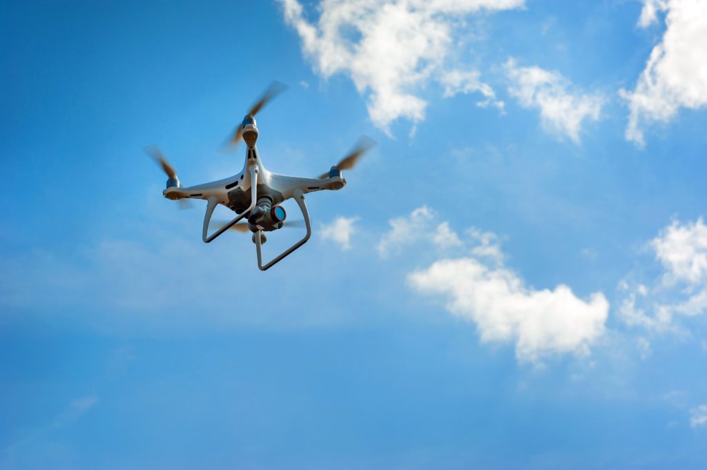
Terrestrial laser scanning, drone photogrammetry, mobile mapping or a mix of all three: the right choice depends on the site, not on which kit happens to be free that week. We match method to structure, whether that’s a tight internal space needing millimetre precision or a sprawling site better covered from the air.
Most sites can’t stop for a survey. Our digital surveying methods are built around minimal disruption, so operations keep running and less scaffolding or confined space access is needed. That also means fewer people working at height, which matters as much to us as the data itself.
A point cloud on its own doesn’t solve anything. We structure outputs to sit inside your CAD, BIM or GIS systems, in whatever format suits the project, from 2D drawings through to fully immersive 3D environments.
Turning theory into practice

Your partner in digital capture
Talk to us about your project
Every site comes with real decisions riding on the data.
If you’d like to talk through 3D laser scanning, digital surveying or photogrammetry for a specific project, we’re happy to have that conversation.
Understanding 3D laser scanning & digital capture
3D laser scanning is used to record the exact shape and dimensions of a building, structure or site as a digital point cloud. Architects use it for accurate as built drawings and clash checks. Asset owners use it to plan maintenance without physical access to every area.
3D laser scanning is typically accurate to within a few millimetres per point, depending on the scanner and its distance from the surface being measured. Final drawing outputs are usually produced to the accuracy bands set out in the RICS Code of Measuring Practice.
Laser scanning and photogrammetry services are both reality capture methods, but they work in different ways. Laser scanning measures distance directly with a laser for high precision over shorter ranges. Photogrammetry builds 3D models from overlapping photographs, which suits larger or hard to reach areas instead.
Digital surveying is the use of technology such as laser scanners and drones, often alongside GNSS positioning, to record a site or building as digital data rather than through manual measurement alone. It produces point clouds and drawings that support design and asset management decisions.
Laser scanning survey times vary by site size and complexity, though most buildings and industrial sites are captured in a single visit lasting hours rather than days. Aerial and drone based surveys can cover hundreds of hectares in a similar timeframe.