Services
→ Building Consultancy
→
Digital Capture
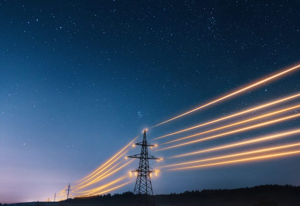
Making the complex simple, the invisible visible
The digital revolution hasn’t just changed how we capture data – it’s transformed what’s possible. At Morson Praxis, we’ve mastered the art of matching cutting-edge technology to real-world challenges, ensuring every pixel, point, and measurement serves a purpose.
-
Digital Capture Services ↓
- Asset Inspections →
- Scan To Bim →
- Mobile Mapping →
Our role is to cut through the noise and deliver exactly what you need, in the format that works best for your project.
How we bridge the gap
Let’s be honest – the digital surveying landscape can feel like a maze of acronyms and algorithms. With new technologies emerging faster than you can say “LiDAR,” many organisations find themselves asking: “Which route do I take? Which solution actually delivers?”
That’s where our experience across multiple industries becomes your competitive advantage. We don’t just understand the tech; we understand the context.
The real-world benefits
Faster, smarter, safer
We capture more data in less time with minimal disruption to live operations. Your site keeps running while we work.
Perfect coordination
Our outputs integrate seamlessly with your existing workflows and project management systems.
Precision positioning
Whether you need ordnance survey coordinates or site-specific datums, we’ve got the geolocation expertise to match your requirements.
Risk reduction
Less scaffolding, fewer confined spaces, minimal working at height. Digital methods inherently improve health and safety outcomes.
Context, not just data
Traditional methods capture what they’re told to. We capture the whole picture, giving you information you didn’t even know you needed.
Future-ready formats
From 2D technical drawings to fully immersive 3D environments, we deliver in whatever format drives your project forward.
We’ve assembled a comprehensive toolkit that covers everything from underground utilities to aerial perspectives:
- Bathymetric Surveys – Mapping what lies beneath the waterline
- GPR & Ground Penetrating Radar – X-ray vision for subsurface investigation
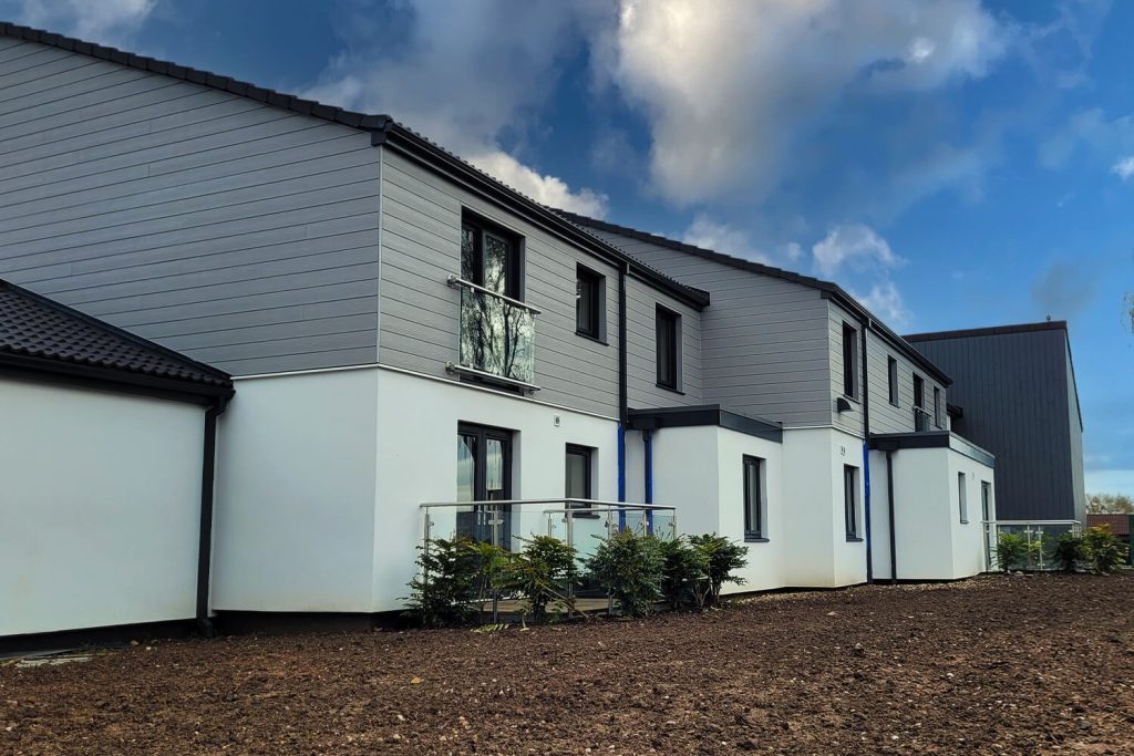
- Measured Building Surveys – Precise documentation of existing structures
- Mobile Mapping – Capturing data on the move
- Photogrammetry – Turning photographs into precise measurements
- Topographic Drawing Production – Traditional outputs from modern methods
- Construction Progress Monitoring – Real-time project tracking
- Orthomosaic Provision – Geometrically corrected aerial imagery
- Scan to BIM – Bridging physical reality with digital twins
- Terrestrial Laser Scanning – Millimetre-accurate 3D capture
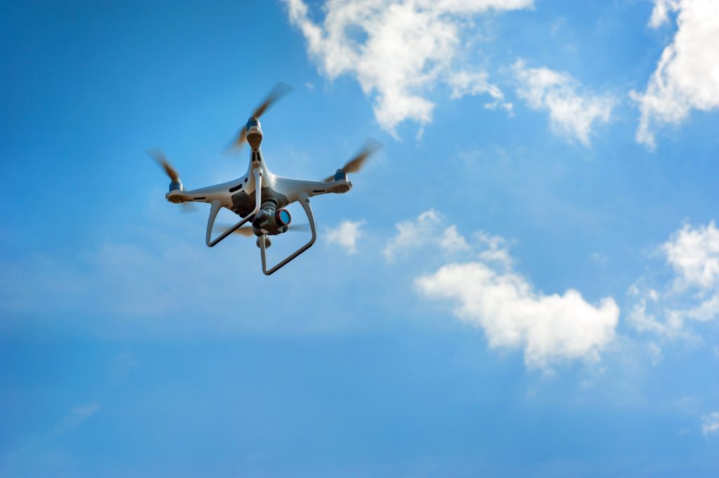
- UAV Aerial Surveys & Inspections – The bird’s eye view, precisely delivered
- 3D Immersive Digital Condition Reports – Virtual walkthroughs that tell the full story
- 360° Photography – Complete visual documentation