Projects
→
Port, Digital Capture
Our Digital Capture team was commissioned by a long-term Ports client to carry out an aerial survey of their site. From the data captured, we produced a detailed surface model of the terrain, forming the basis of a topographical survey to support site development.
Client Brief
Precise Survey for Effective Site Planning
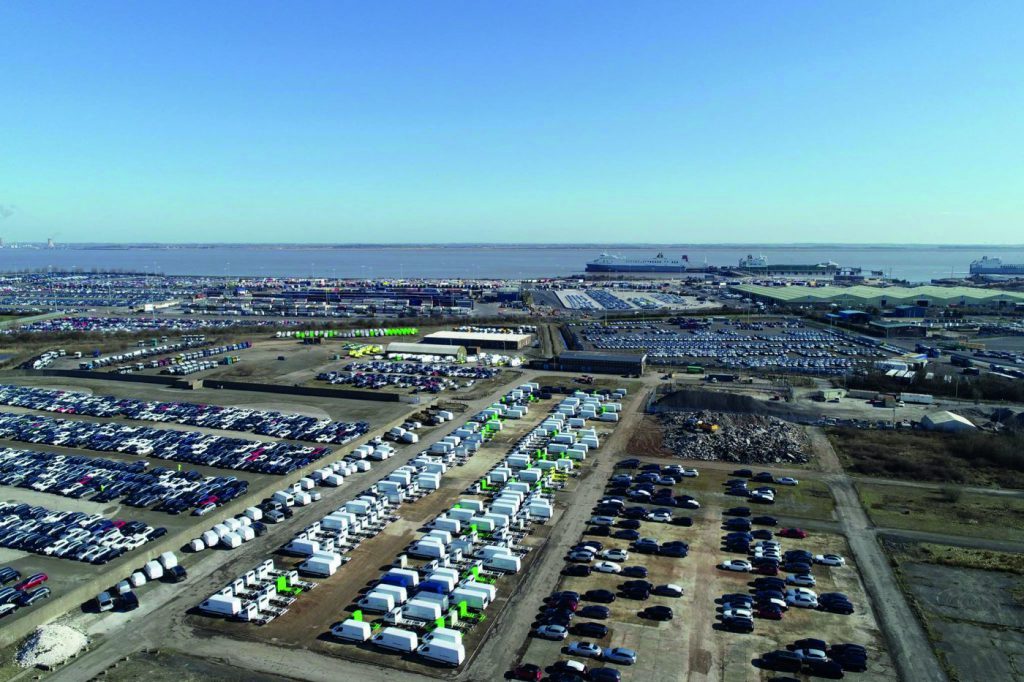
The client required an accurate and efficient survey of their site to aid in levelling the ground for the storage of new cars and vans. They needed precise data to inform planning and ensure safe, effective use of the area.
Project Overview
Overcoming Site and Environmental Challenges
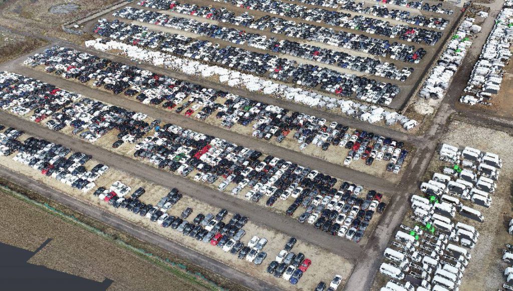
The survey involved capturing both aerial imagery and GNSS data to produce a comprehensive point cloud of the site. The site presented challenges, including partial occlusion by vehicles and strong coastal winds, but the team successfully collected high-quality data covering 323,550 m² in just 1 hour 27 minutes.
Image Gallery
High-precision aerial surveys and 3D site modelling in action
Our Solution
UAV & GNSS Data Capture for Intelligent Modelling
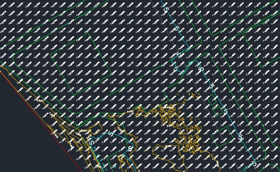
We deployed a specialist UAV alongside GNSS technology to capture a coordinated point cloud of the site. Using Pix4D and Autodesk Civil 3D, we removed vehicles from the data and generated an intelligent, geo-coordinated surface model. This enabled extraction of contour levels, spot elevations, and key site features for a highly accurate representation.
Result
Accurate Topographical Survey Delivered Efficiently
The final topographical survey provided the client with a precise, actionable model of the site. The combination of UAV and GNSS data allowed for fast, efficient capture despite site obstacles and challenging weather, enabling informed decision-making for future storage and development works.