Projects
→
EDF Energy, Digital Capture Sizewell C
As part of Sizewell C in Suffolk, Morson Praxis delivered a UAV survey supporting planning and engineering activities.
Client Brief
Capturing Critical Nuclear Site Data
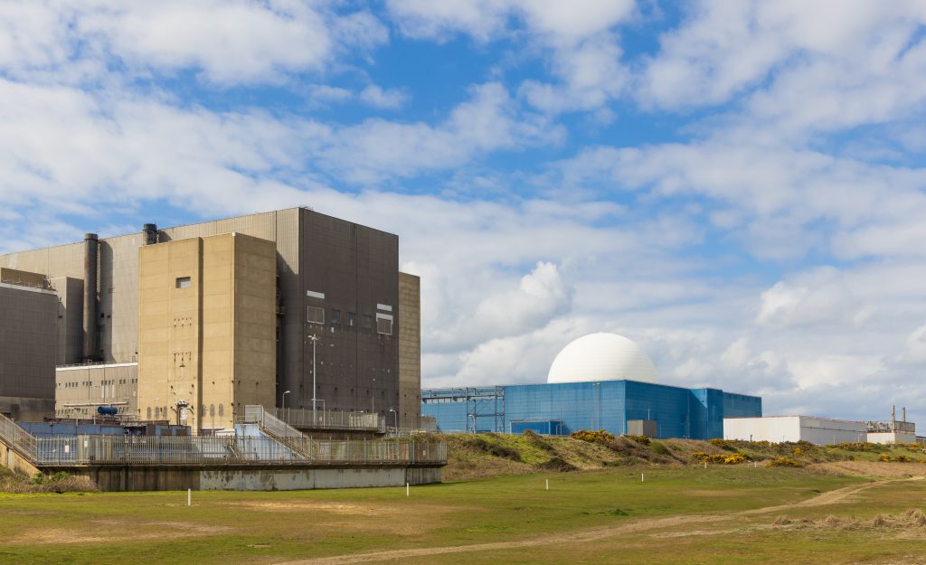
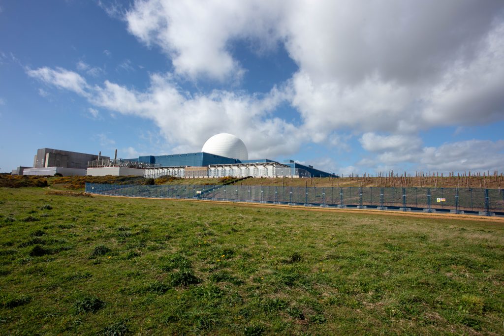
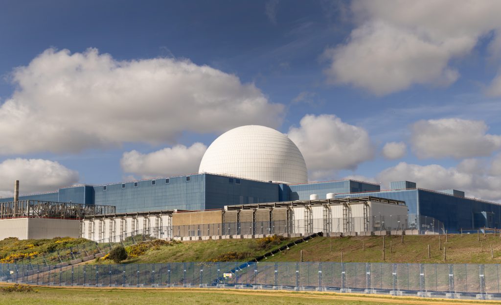
EDF required a fast, accurate, and efficient method to capture land surrounding its existing nuclear sites at Sizewell A and Sizewell B. Morson Praxis delivered a UAV survey to produce topographic drawings, orthomosaics, and geolocated point clouds, providing detailed visual and spatial data to support planning, engineering, and land-use assessments.
Project Overview
UAV Survey Across 275 Hectares
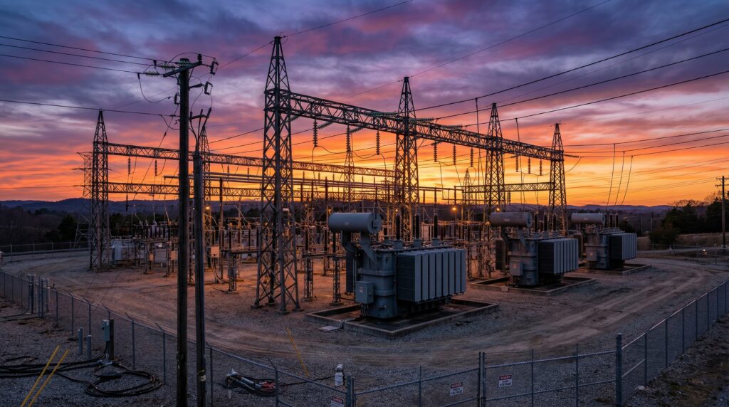
The total survey area covered 275 hectares, with a high-priority 66-hectare zone identified by EDF. The Digital Capture team deployed a UAV in combination with a GNSS smart antenna to capture inaccessible and sensitive areas, including marshlands within a Site of Special Scientific Interest (SSSI). Ground Control Points (GCPs) were positioned across the survey area to ensure high positional accuracy. Autonomous UAV flights collected aerial imagery, which was combined with GNSS data to produce a highly detailed, geolocated point cloud.
Image Gallery
Advanced UAV surveys deliver precise topographic and visual insights across sensitive areas.
Our Solution
High-Precision Aerial Mapping and 3D Modelling
From the point cloud, the team extracted terrain data and produced full topographical drawings. Orthomosaics were created to provide high-resolution imagery of the survey area. The team overcame multiple challenges, including restricted airspace over the nuclear sites and protected areas, by obtaining exemptions from the Civil Aviation Authority and permission from Natural England. Wind conditions, wildlife, and proximity to the sea were closely monitored to ensure safe flight operations.
Results
Detailed Topography and Orthomosaics for Planning
The project delivered detailed topographic drawings that informed planning and enabling works for Sizewell C. High-resolution orthomosaics provided the client with visual insight into inaccessible areas, while point clouds and a usage guide enabled EDF to fully leverage 3D spatial data. The combination of UAV technology, GNSS precision, and careful planning allowed for a safe, efficient, and comprehensive survey of a challenging and sensitive site.